Xinjiang's first geopark opens to public
Northwest China's Xinjiang Uygur Autonomous Region officially opened its first geopark in Keketuohai on Wednesday.
Northwest China's Xinjiang Uygur Autonomous Region officially opened its first geopark in Keketuohai on Wednesday.

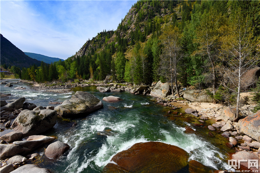
The scenery of Xinjiang's first geopark in Keketuohai. [Photo/www.cnr.cn]
Located south of the Altay Mountains and at the source of the Irtysh River, the park covers more than 2,300 square kilometers.
Visitors will be able to enjoy breathtaking views including the Irtysh Grand Canyon, a huge mine crater, lakes, mountains, a waterfall, fossils and rivers.
UNESCO announced eight new global geoparks in May last year, including Keketuohai.
"The geopark is expected to increase local incomes and drive the sustainable development of the local economy through its precious geological landscape and rare mine site," said Jin Xiaochi, an official of the park.
Keketuohai was once a celebrated mine area in China, and rare metals were mined there for more than half a century.
It earned national fame, as minerals in the area made a contribution to the country's aerospace and defense industries.
Due to resource depletion, mining was suspended in 2002, and Keketuohai was on its way to becoming a ghost town, affecting the income of local residents.
Since then, the central and local government invested more than 2 billion yuan (US$289 million) to restore the mine area's ecological environment, improving infrastructure and promoting tourism.
Last year, the average annual net income of local rural residents and herders in Keketuohai reached over 13,000 yuan, with an increase of 1,332 yuan.
Nearly 3 million domestic and foreign tourists visited Keketuohai in 2017, up over 50 percent year-on-year.

