HOME
TOP NEWS
PRESS ROOM
SCIO NEWS
CHINA PROJECTS
BELT AND ROAD
IN-DEPTH
ABOUT SCIO
MORE +
INTERNATIONAL EXCHANGES
CHINA VOICES
INFOGRAPHICS
VIDEOS
WHITE PAPERS
FEATURED
CHINA FACTS
Home
>
China Projects
>
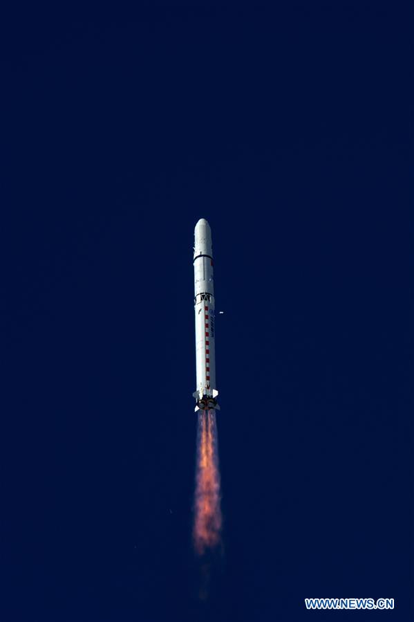
China launches remote sensing satellites SuperView-1 03/04
Around China
China launched a pair of 0.5-meter high-resolution remote sensing satellites Tuesday from the Taiyuan Satellite Launch Center in north China's Shanxi Province.
Xinhua
丨
Updated: January 9, 2018
×
China launches SuperView-1 03/04, a pair of 0.5-meter high-resolution remote sensing satellites, from the Taiyuan Satellite Launch Center in north China's Shanxi Province, Jan. 9, 2018. The satellites blasted off Tuesday on the back of a Long March 2D rocket. The mission aims to promote the country's commercial use of high-resolution remote sensing satellites. The satellites, which are able to provide commercial images at 0.5-meter resolution, are expected to offer remote sensing data to customers worldwide and provide services to land and resource surveys, mapping, environmental monitoring, finance and insurance as well as the Internet industry. [Photo/Xinhua]
<
1
2
3
4
>
MORE FROM
China SCIO
China launches three commercial remote sensing satellites
>
China to launch four new weather satellites before 2021
>
China launches two BeiDou-3 navigation satellites on single carrier rocket
>
Xinhua